Hotel
Excursions and mountains at Lake Resia in Venosta, Nordtirol and Engadin
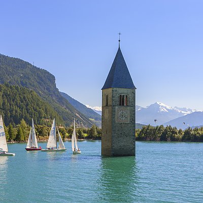
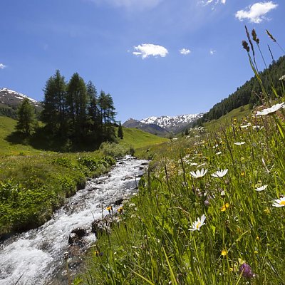
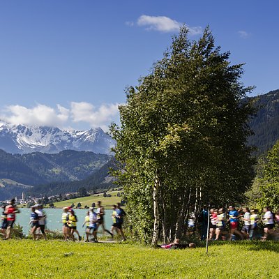
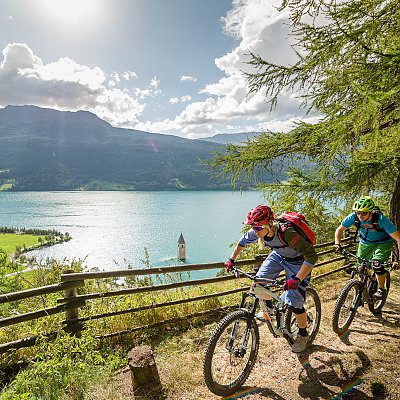
Start your journey from the hotel to the summits of the South Tyrolean mountains or take a walk around the St.Valentine lake. Plan your hiking holiday in Val Venosta Valley and don't forget to enjoy the area in the South Tyrol style.

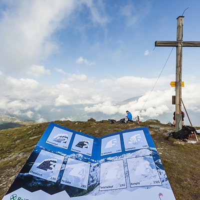

The many alms in our area are easily reachable on the paths that are well marked and prepared.Starting from our hotel, for example, you will arrive at the St. Valentin alm. The Resia alm instead, takes a short drive to get to the starting point for the excursion. The Slingia and Planol alm and the Brugger alm are other well attended by our guests. For the sportiest guests, we recommend the excursion to the Sesvenna shelter.
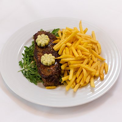
Arriving on one of the many alms you can enjoy typical South Tyrolean dishes and wonderful landscapes. Cold dishes, stuffed tortelloni or the sweet “Schneemilch” (bread, milk and cream): you will surely find a dish that will become your favourite. In the valley, you can discover our region on the numerous alpine paths and trails. For those who want to stroll and for experienced climbers, you will find the activity that suits you best. We are happy to recommend you and we can also arrange an alpine guide that will accompany you on your tour.
Wandern in Südtirol - Sport im Vinschgau
Aktivitäten im Überblick
The interactive map of Veonsta offers you an overview of hiking trails, cycle paths, sights, ski and cross-country skiing areas.
The map also contains useful information for planning your holiday plans on site, such as the addresses of the information offices.
All services also work offline. You can also download the “Vinschgau Map App”: https://play.google.com/store/apps/details?id=at. generalsolutions. contwise. maps. vinschgau&hl=en directly to your smartphone.


